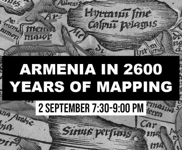
Armenia in 2600 Years of Mapping
Armenian Institute
67-74 Saffron Hill, EC1N 8QX London
Rouben Galichian gives an illustrated presentation of maps of the past 2600 years, showing a country called Armenia has existed in the same area from then to the present time. For six to seven centuries when Armenia did not exist as a sovereign entity, the name Armenia continued to appear on almost all maps over the region from the Euphrates River, Mush, west of Lake Van to the confluence of the Kura and Arax rivers in the east. The maps shown have been taken form the rich cartographic collections of various countries in the West, as well as the Middle East.
***
Author of many books showing how Armenia is represented in historic maps as well as contemporary political map-making, Rouben Galichian’s first book on the subject was Historic Maps of Armenia: the Cartographic Heritage (IB Tauris), later translated into Armenian and Russian. Born in Tabriz, Iran, Galichian has devoted many years to his love of maps and history, publishing and lecturing on the subject in the US, UK, Turkey, Armenia and across Europe.
***
Meeting ID
814 1564 8560
Invite Link
https://us02web.zoom.us/j/81415648560?pwd=dU5GbE52S3RMZkE4b3Y1UEpwL3JMZz09
***
Our events are free on Zoom but we need your help to continue producing exciting programmes. Please visit our Support page to make a contribution.
https://www.armenianinstitute.org.uk/support-us
Armenian events around the world
- Armenian events in Canada
- Armenian events in United States
- Armenian events in France
- Armenian events in Austria
- Armenian events in Armenia
- Armenian events in Lebanon
- Armenian events in United Kingdom
- Armenian events in Cyprus
- Armenian events in Switzerland
- Armenian events in Australia
- Armenian events in Belgium
- Armenian events in Germany
- Armenian events in Spain
- Armenian events in Netherlands
- Armenian events in Italy